Land-use planning has a direct and far-reaching effect on all aspects of our environment. Due to the sustainability transition, our way of using and developing areas needs to change. In addition to the attractiveness of municipalities and cities, ecological carrying capacity and climate change mitigation and adaptation are the key goals of land-use planning, to which we respond with landscape-oriented planning.
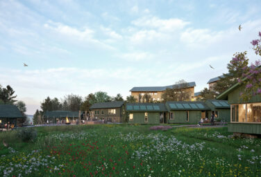
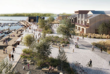
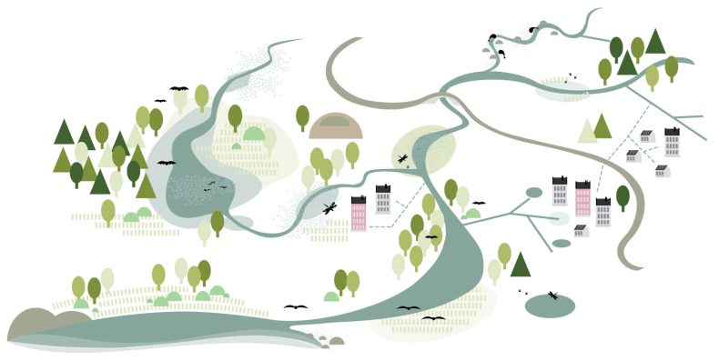
Landscape-oriented planning is an urban planning approach based on the networks of landscape and natural systems. We combine the approaches of urban planning and landscape architecture and utilize transdisciplinary approaches. The goal is to preserve and improve the scenic and ecological values of the area and encourage sustainable development while creating opportunities for the development of areas as part of the ecological network of cities. Landscape-oriented urban planning takes into account local conditions and the interaction of people with the natural environment. It utilizes local knowledge, residents’ experiences and opinions as well as other local resources so that the design can best respond to local needs and demands.
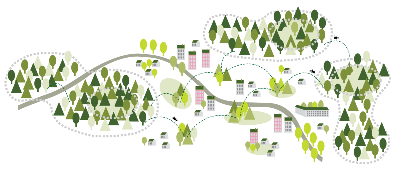
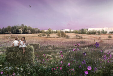
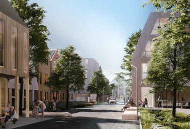
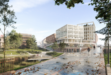
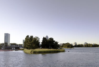
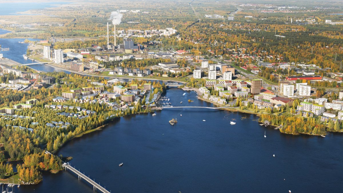
Landscape-oriented urban planning can be particularly important in areas with sensitive nature values, cultural heritage, water elements and unique landscapes as well as in dense urban environments where the continuity of ecological networks is at risk. For example, in coastal environments, landscape-oriented planning can connect human activity with natural processes and coastal habitats in a sustainable way. Landscape-oriented planning helps to combine natural processes, human well-being and economic development in a sustainable way so that both the natural values of the area and the local economy can benefit.
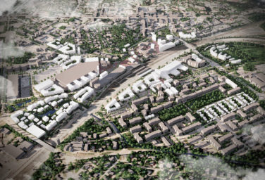
The planning process includes setting clear responsibility goals in the early stages of planning and monitoring and evaluating these goals throughout the planning project until implementation. Our experience covers conceptual planning, reference scenarios and detailed plans in both urban and non-urban environments. We also offer nature and landscape impacts assessments. Our design team includes landscape architects, architects and biologists, and our extensive network of collaborators also hail from other fields.
Please contact us to find out more: